
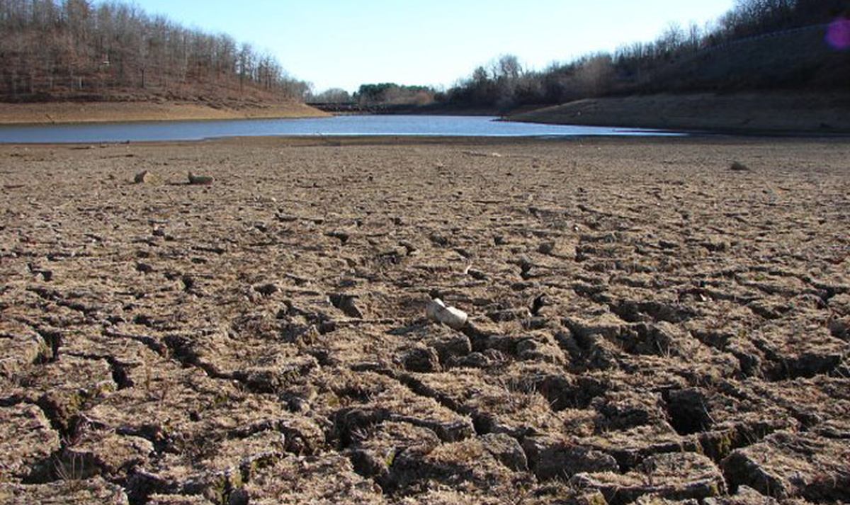
Satellite images taken between 1 and 3 August 2026 show four of Europe’s largest rivers reduced to threads running between exposed sandbanks: the Loire near Saumur, the Po near Cremona, the Rhine near Boppard and the Danube near Paks.
The pictures are the reason this is a story everywhere. The number underneath them is the reason it is an economic story, and it is the most misread figure in the coverage.
The nine inches at Kaub
The figure being quoted is a water level of about nine inches at Kaub, a village near Koblenz in western Germany.
Read literally, that sounds like the Rhine has become ankle-deep. It has not. The Kaub figure is a gauge reading — a measurement against a fixed reference point on the bank, used as an index. The navigable channel is considerably deeper than the number suggests, and ships continue to move.
What actually changes is loading, not floating. A barge that cannot sit as deep in the water cannot carry as much. So the same vessel makes the same journey with a fraction of the cargo, and the cost of moving a tonne of anything up the Rhine rises sharply. The river does not close — it gets expensive. That distinction matters, because “the Rhine is nine inches deep” is alarming and wrong, while “every barge is running part-empty for weeks” is undramatic and is the thing with real consequences.
Why one village sets the price for a whole river
Kaub sits on a shallow stretch of the Middle Rhine. Because a vessel can only be loaded to the depth of the shallowest point on its route, that stretch governs the entire corridor.
Operators plan loading against the Kaub reading rather than against conditions at their departure point. That is why a single gauge in a small place becomes a number quoted in commodity markets: it is the binding constraint on everything moving between the North Sea ports and industrial Germany and Switzerland.
| Normal levels | Barges load to capacity; freight rates ordinary |
| Low levels | Barges load part-full; more trips needed; rates climb |
| Record lows | Cargo shifts to rail and road, which are slower and dearer, and have their own limits |
The Rhine carries a great deal of fuel, chemicals and industrial raw material. When it constricts, the cost lands on manufacturing across central Europe rather than on shipping companies.
The nuclear plant nobody expected in a drought story
The Danube image is centred near Paks in Hungary, and that location is not incidental. The Paks Nuclear Power Plant draws on the river, and reduced flow is reported to be creating serious operational difficulties for reactor cooling.
This is the part of a drought that rarely makes the headline. Thermal power stations — nuclear and fossil alike — need large volumes of water to shed heat. Less water, and warmer water, means less cooling capacity, which can force output to be reduced precisely when demand for electricity is highest because of the heat.
So the same weather event squeezes both the transport of energy and the generation of it, at the same time.
Blasting riverbeds
Reporting describes authorities resorting to blowing up sections of riverbed to deepen channels. Whatever one makes of that as a response, it is a useful indicator of scale: it is not a measure taken during an ordinary dry summer.
Why this reaches beyond Europe
Rhine constraints have a documented history of raising costs for chemicals and industrial inputs, and those supply chains do not stop at Europe’s borders. A prolonged squeeze shows up later, and quietly, in the price of things made from what those barges carry.
The immediate effects are European. The bill is distributed more widely, on a delay long enough that it is usually not connected back to a gauge reading in August.
Copernicus Sentinel-2 imagery acquired between 1 and 3 August 2026 showing exceptionally low water on the Loire near Saumur, the Po near Cremona, the Rhine near Boppard and the Danube near Paks was published by the EU Space Programme and reported by CNN, The Washington Post and CNBC in August 2026. The water level of approximately nine inches at Kaub, near Koblenz, was reported by Insurance Journal and others on 12 August 2026. Reports of operational difficulties for reactor cooling at the Paks Nuclear Power Plant arising from low Danube discharge, and of authorities blasting riverbeds to maintain navigable channels, come from the same coverage. The explanation of how the Kaub gauge functions as an index rather than a measure of channel depth, and of how it constrains barge loading across the Rhine corridor, is general background on inland navigation. Conditions on these rivers change with rainfall and the figures cited reflect the dates given.
Frequently Asked Questions (FAQ)
What has happened to Europe’s rivers?
Sustained heat and a lack of rain have pushed several major rivers to record or near-record low water levels. Copernicus Sentinel-2 satellite images acquired between 1 and 3 August 2026 show exposed sandbanks and gravel bars along the Loire, the Po, the Rhine and the Danube.
Which stretches were imaged?
The Loire near Saumur in France, the Po near Cremona in Italy, the Rhine near Boppard in Germany, and the Danube near Paks in Hungary.
Is the Rhine really only nine inches deep?
No. The figure reported at Kaub is a gauge reading measured against a fixed reference point, not the depth of the navigable channel. Vessels still move; what changes is how much they can carry.
Why does Kaub matter so much?
It sits at a shallow stretch of the Middle Rhine and acts as the limiting point for the whole route. Cargo loading across the river is planned around what can pass there, so the Kaub reading effectively sets capacity for traffic well beyond that one village.
What is happening at the Paks nuclear plant?
Reduced flow on the Danube near Paks in Hungary is reported to be creating operational difficulties for reactor cooling, which depends on river water.
Are authorities doing anything physical about it?
Reporting describes measures including blasting riverbeds to deepen channels, an indication of how far the disruption has gone beyond normal seasonal low water.